Snowshoe Wrightwood’s Table Mountain

9,399′ high Mt. Baden-Powell’s massif dominates the southwest skyline from Table Mountain.

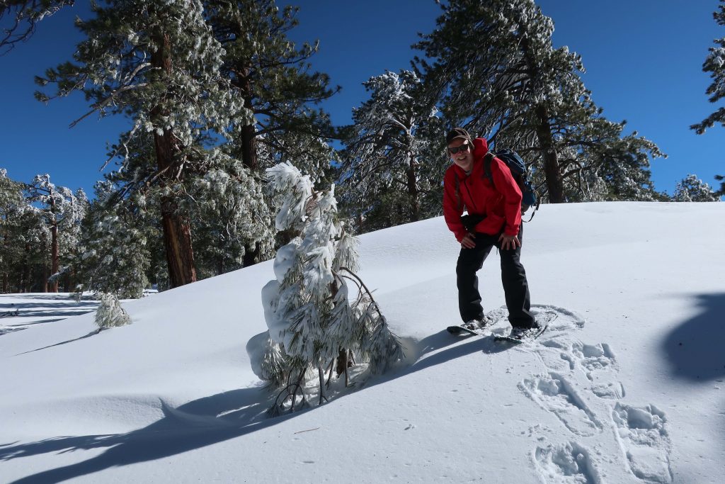
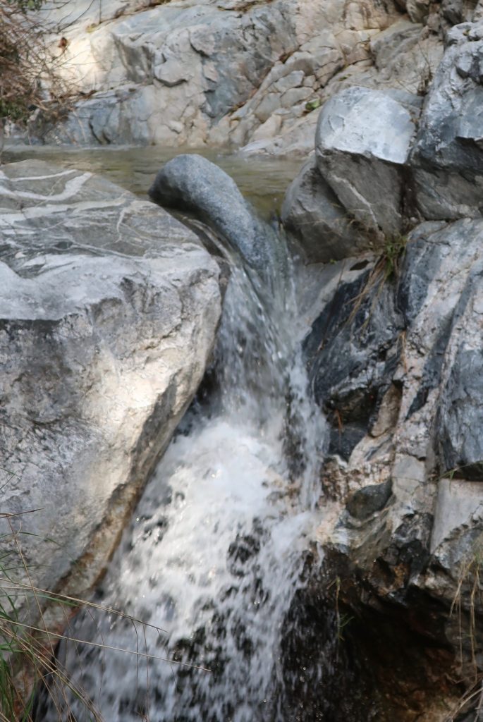
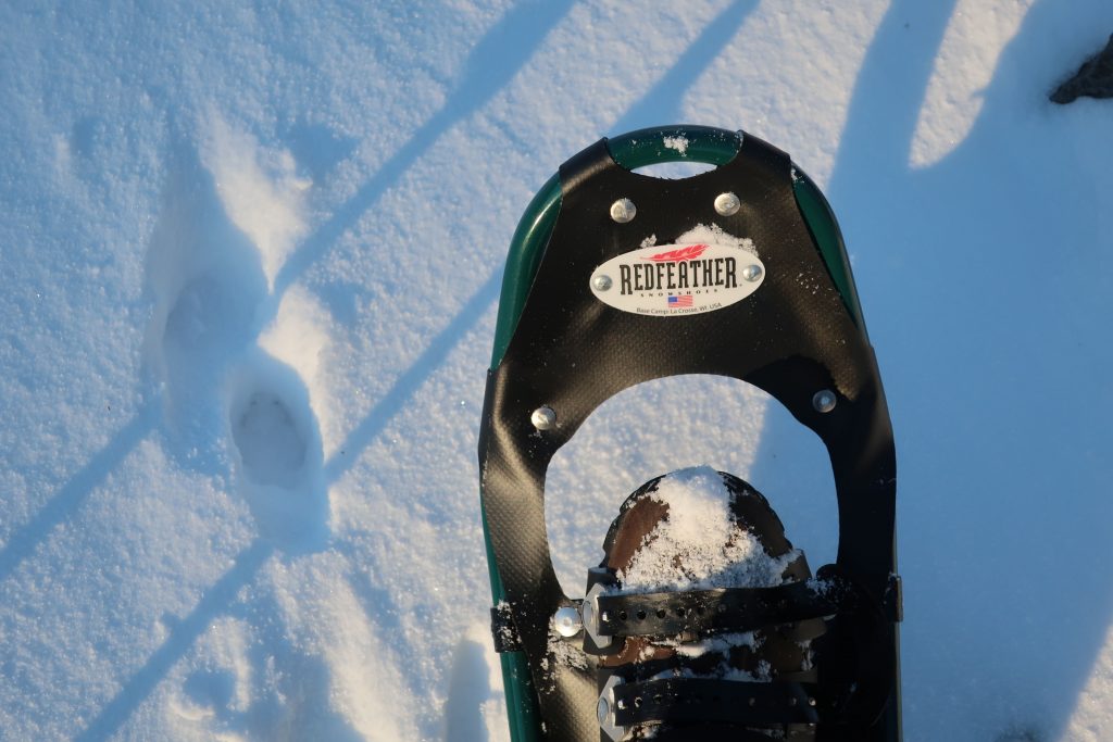
Joanie and I got out for a great afternoon of snowshoeing up on Wrightwood’s Table Mountain about a week and a half ago.   Since then,  more storms have dropped even more of the precious powder on our local mountains.   Whether you like to cross-country ski or snowshoe, it’s a fantastic time to be out amongst our high country peaks, canyons and forests!

Inset of the Trails of Wrightwood – Big Pines map. The area we went snowshoeing is depicted as Table Mountain (with campground symbol) at an elevation of 7,200′. The west end of Wrightwood appears in the lower right corner of image.

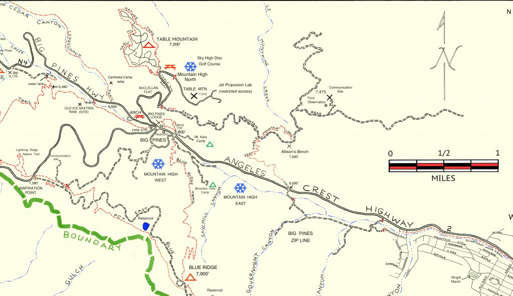
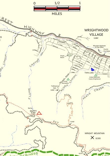
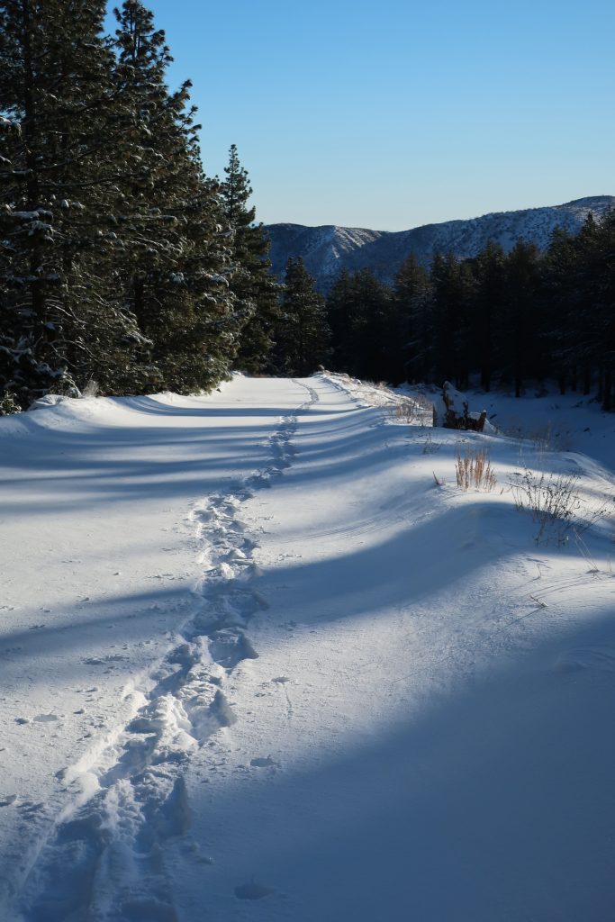
Table Mountain is 7,516′ high and super easy to get to from Wrightwood.  Just drive.  You’re only looking at four miles from our village center.  Make sure to turn off to the right on Table Mountain Road when you arrive at the three way split in the roads at Big Pines.  Table Mountain Campground is where we did our snowshoeing on a quiet Friday, where we seemed to have the place to ourselves.  The wind had sculpted the snow into pristine dunes along the gently sloping ridge top that the extensive campground straddles.

Joanie seems to almost float atop the powder on the sunny slopes of Table Mountain!

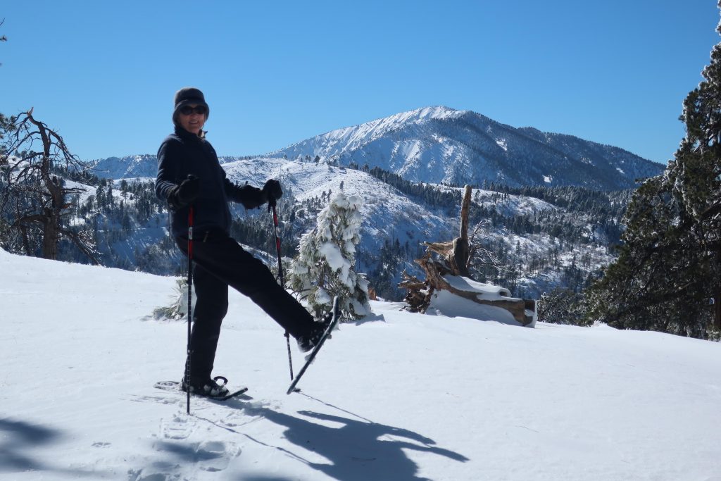
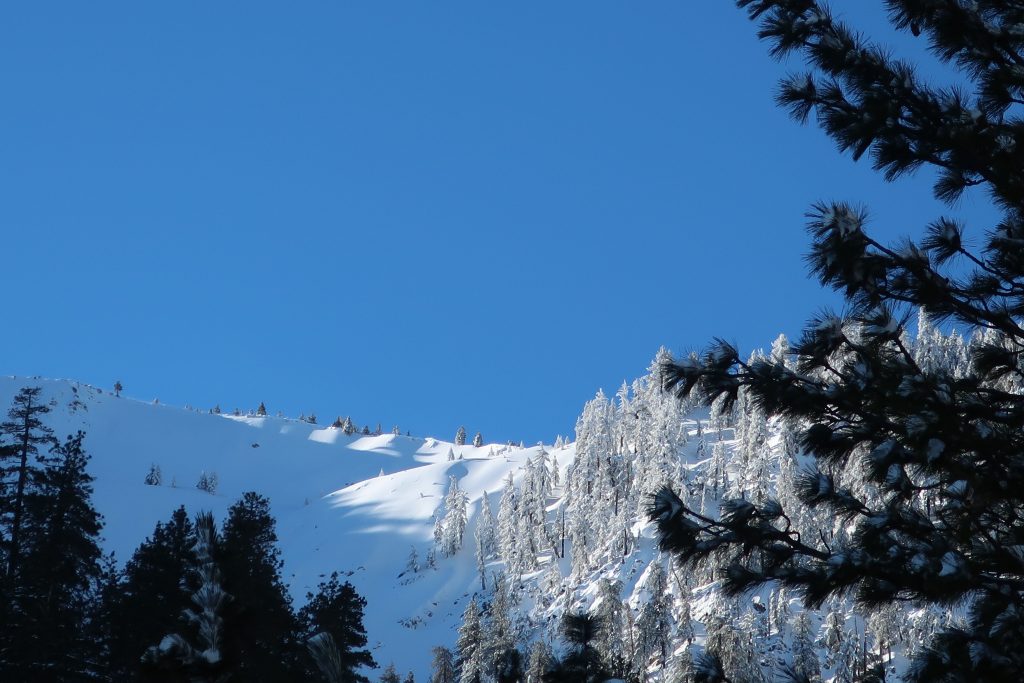
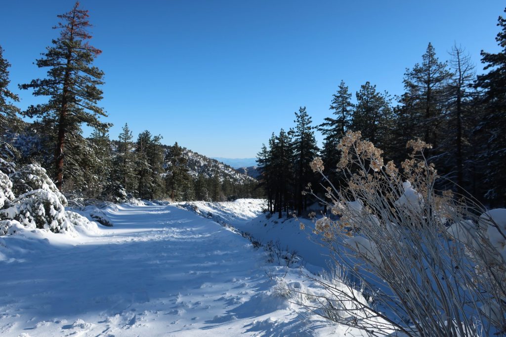
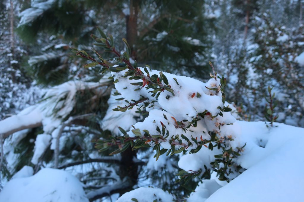
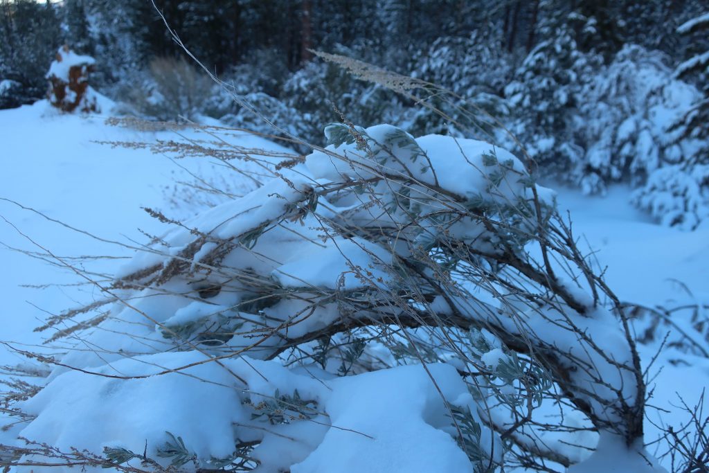
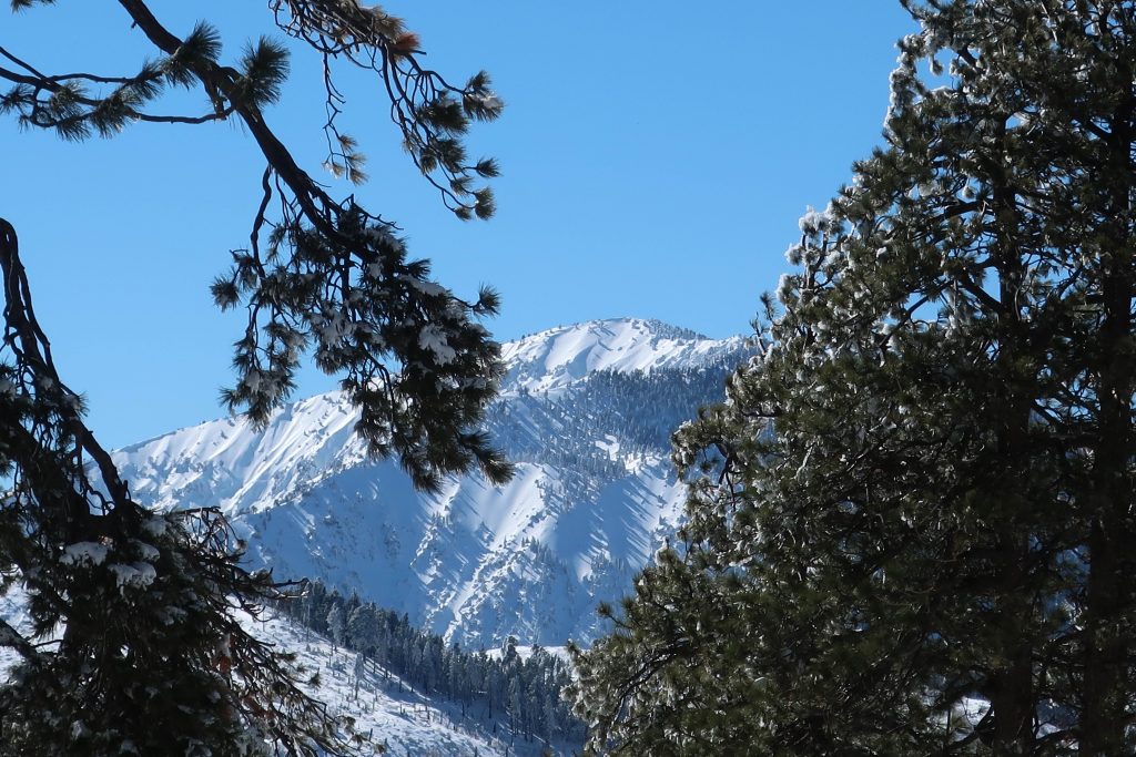
All the campsites were, of course, hidden under the snowy mantle, with just the picnic tabletops presenting themselves as a bit of a depth gauge.  Most of the time, snow depth was around 24″ and in places well over three feet.  The windward sides of the mammoth white fir and Ponderosas were coated in sparkling icicles that fell like shards of glass in the wind gusts that came out of the southwest.  Mt. Baden-Powell kept constant watch over us from across the great gulf of the East Fork of the San Gabriel River.   The Mojave Desert off to the north was a mosaic of tans, yellow sands and the right-angled patchwork of green winter crops scattered here and there.  It looked and felt warmer down there.  And high up on Table Mountain, that day was to be one of cobalt blue skies, bright white snows, wind and evergreens.

A small wind-bent snowy pine and Chris have a little visit amongst Table Mountain’s frozen forest.


Big Santa Anita Canyon – High Water

A view of 55′ high Sturtevant Falls as taken from the Upper Falls Trail this last Saturday. The stream crossings are so high right now that wading seems the best way to get across.

Our epic winter continues, with Sturtevant Falls looking more beautiful than ever.  Last weekend our rain gauge had overflowed from the accumulation of a couple more storms before we could hike back in and check it.  The gauge holds 12″ of rain before it overflows, so this tells something about the rains this month.

Looking downstream at Fern Lodge Junction. The stream is swollen, cold and flowing with energy.

Big Santa Anita Creek Comes Alive After Recent Storms

Looking across at Sturtevant Falls and plunge pool from the Upper Falls Trail.

Big Santa Anita Creek comes alive after recent storms.  55′ high Sturtevant Falls is back in its’ former glory as well!   As we all know, years of drought have taken their toll throughout the southwest, especially in the myriad of canyons throughout the mountains of Southern California.

Joanie and I discovered 9.57″ of rain in our gauge at Fern Lodge on January 18th.  Several storms, back to back, have made a huge difference in the appearance of not only the Big Santa Anita creek, but all the rest of the front country streams in the Angeles.   A week later, we hiked up and past Sturtevant Falls where we took these two photos.

This view taken just above Sturtevant Falls. This is at the top of the slot pools.

As of today, February 10th, a lot more rain has fallen.  The stream beds have been scoured of the dark organic mat that’s built up for years.  This has left bright, colorful sands and rocks under the clear waters.  Beautiful.

A tranquil stretch of the Big Santa Anita Creek in the Fern Lodge area of the canyon. This spot is near the little cabin village where the Upper Falls and Gabrielino trails depart the canyon bottom.

Wrightwood’s Heath Creek – Snow Shoe it!

Yesterday, I headed up Heath Creek and got a quick snowshoe in to the upper gate.  Only went about a mile up from Thrush Rd.  However, it’s about 460′ of gain.  It’s been so long since we’ve had this kind of snow.  Forgot how much of a chug it would be with snowshoes on – ha!   Good times.

Here’s a small section of the Wrightwood – Big Pines map depicting part of Heath Creek. Access this hike by taking the dirt road that departs south, climbing upslope from Thrush Rd. between Victorville Street and Heath Creek Rd.

Elevation Gain / Loss:

From the lower gate (just above Thrush Rd.) to upper gate = 460′.       The elevation on Thrush Rd. at spot where you walk up the beginning of levee road is 5,840′.   This gain takes place in approximately one mile along the levee road located on west side of Heath Creek.   Elevation of upper gate is 6,300′.

If you have time, keep on going past the upper gate.  Soon you’ll encounter some sawn log benches placed in a square configuration.   Keep going further up along the stream bed on the old, steeply rutted jeep road which is in places barely a trace.  It’s steeper going now than it was on the levee road between the two gates.

From upper gate to top end of old jeep road (abandoned)    =400′.  The top end of old road is where two canyons come together. There’s a forested canyon on the left side and small stream running between jagged walls on the right.  The elevation here is 6,700′.     Look for the little framework of limbs that have been lashed to some upright hand-hewn cedar poles.

Looking directly up Wright Mountain’s slide from the canyon bottom. This is the same slide you can view toward the south from the Wrightwood Post Office. Wright Mountain’s summit is at top of ridge on far left of photo at an elevation of 8,500′. Photo was taken at elevation of 6,300′ near upper gate.
Today, finally dragged out the dusty snow shoes!
Looking over my shoulder, this is all that’s being left behind.
Heath Creek, looking down canyon. That’s the Mojave Desert on the distant skyline.
Snow covered mountain mahogany, Heath Creek.
Snow bent Great Basin Sagebrush about a mile up Heath Canyon from Thrush Rd.
This little structure of lashed together branches and poles is up at the end of the hike. It’s up above the rocky stream bed at confluence of the two canyons.