Wrightwood’s Blue Ridge Trail Hike

Joanie pauses alongside the Blue Ridge Trail to check out some dried flower stalks of grass in the fading light.

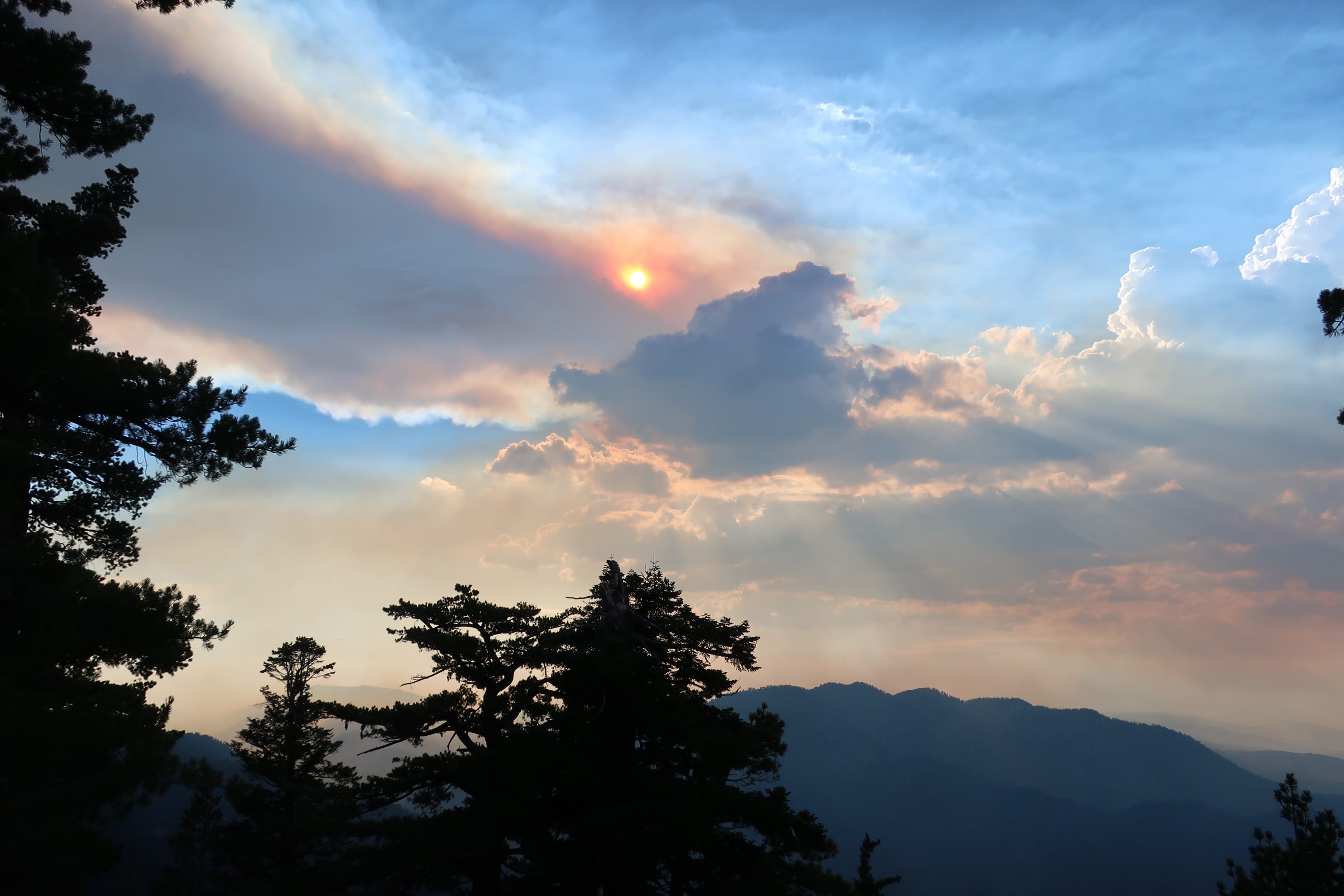
Wrightwood’s Blue Ridge Trail hike, located just three miles west of this scenic mountain village, is a good place to get some shade and maybe even a little cooler weather, this time of year.   The trail runs between Big Pines and Blue Ridge Campground, traversing richly forested mountainsides.  Total elevation gain is only 1,100′ in the two miles spent under the canopy of expansive white fir, black oaks, Jeffrey, ponderosa and sugar pine.  Starting at 6,800′ , the trailhead is located just across Highway 2 from the old Big Pines Lodge.   There’s also a U.S. Forest Service information station here, which incidentally,  is closed for the meantime due to Covid cutbacks throughout the Forest Service.   Park in the paved lot adjacent to the restrooms.  Walk down a worn trail through the brush that’ll cross the Mountain High West parking lot’s exit road.  Look for the brown painted trail sign.

Clusters of asters are found growing along much of the Blue Ridge Trail, Wrightwood, CA. Also, look for them along the Lightning Ridge Trail as well as the Pacific Crest Trail where it runs along both East and West Blue Ridge.

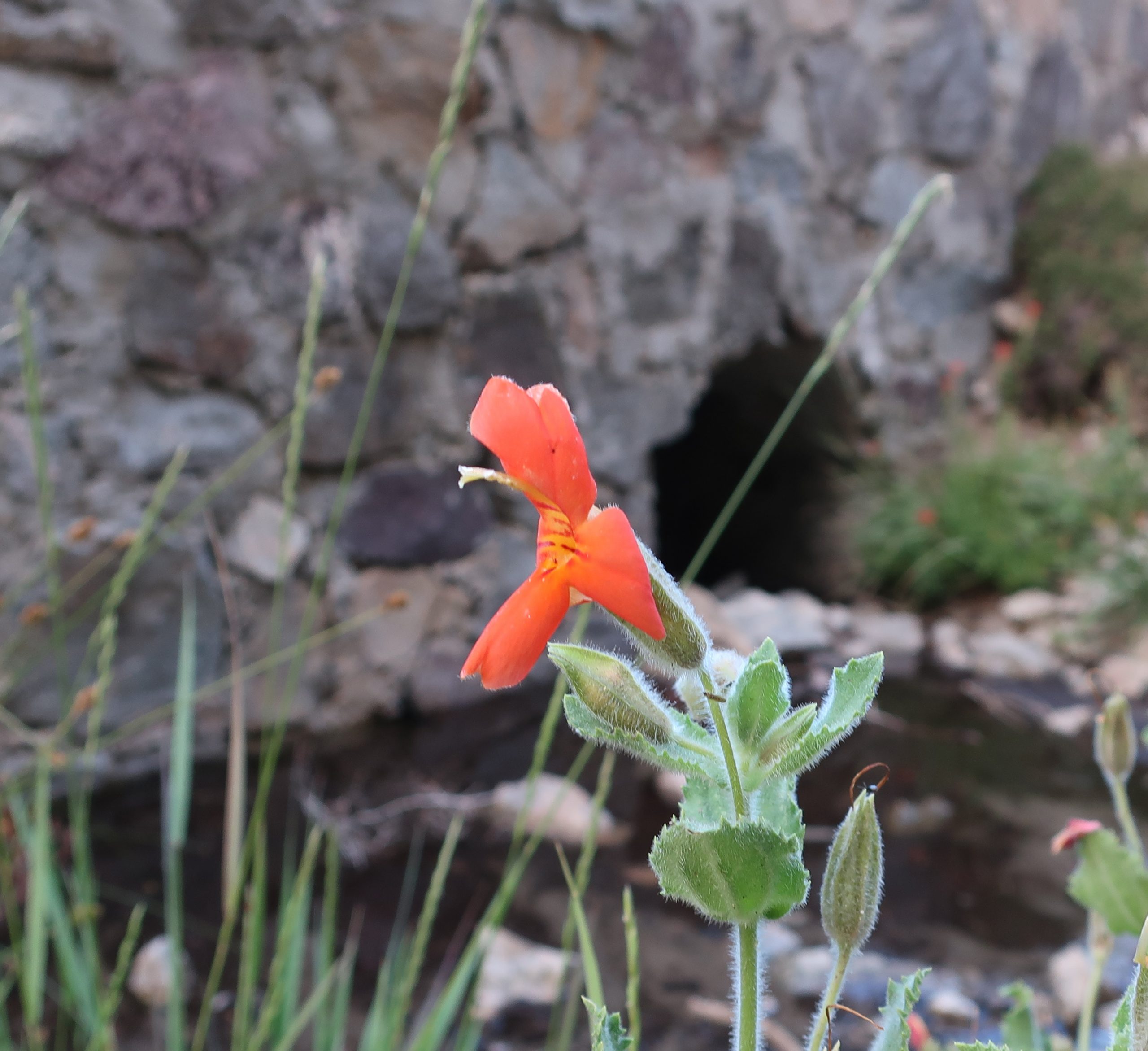
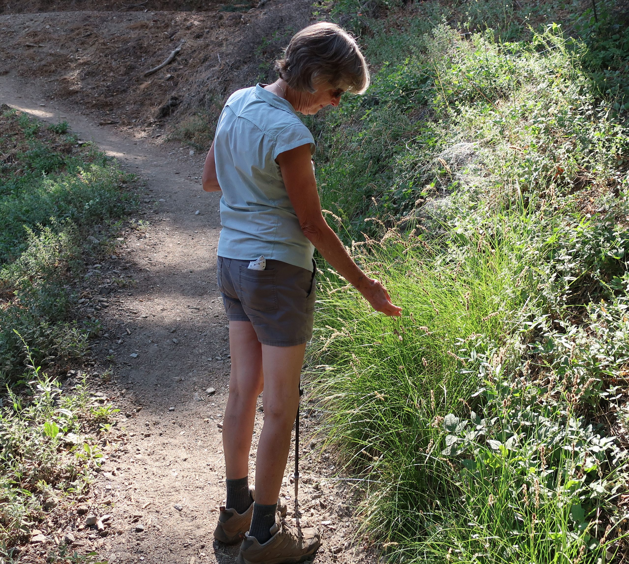
Halfway up the trail is, true to its’ name, the Half Way rest.  It’s a nice log bench indicating that you’re only a mile from Blue Ridge Campground and a mile from where you began.   You’ll pass by some gentle draws along the mountainside where glades of gentle green squaw currant, dogwood and willow grow lushly.  There’s the smell of moist plants and earth dropping down from these quiet places.  The terrain is gentle, especially for the San Gabriel mountains.  Take the time to breathe all this beauty in.  Return the way you came.

Hike the Dawson Saddle Trail for Cooler Temps

Late afternoon sun works its’ way through layers of smoke and cumulus clouds while the Ranch Fire burns way down below in the mouth of San Gabriel Canyon. That’s Mt. Williamson in the background, just right of center.

Hike the Dawson Saddle Trail for cooler temps and beautiful views of canyons and desert.  A few days ago, Joanie and I drove up to Dawson Saddle for a late afternoon hike.  Located approximately 13 miles west of Wrightwood, Dawson Saddle is the highest spot along the Angeles Crest Highway.  At an elevation of 7,901′ , this trailhead starts you out at about the coolest temps possible this time of year.  While the Front Country of the San Gabriel mountains smolders during the occasional heat waves of summer,  high country hikes, or walks, are well worth considering for a refreshing getaway.

Scarlet monkey flowers are in full bloom along this small unnamed stream flowing off of Mt. Burnham. The location of the photo was taken along Highway 2 (Angeles Crest Highway) just east of Dawson Saddle. In the background is a culvert running underneath and through the old rock work of the highway.

About a mile up the trail, while heading toward Throop Peak, we caught this scene of smoke and cumulus clouds out over San Gabriel Canyon.  The Ranch Fire II was still out of control a short distance up Highway 39 near Azusa.  Up above 8,000′ , the breeze coming in from the Pacific was cooling, yet tinged with the acrid scent of burning chaparral from miles away.   Our light was beginning to fade and we turned back around for the trailhead.  While driving back home, we stopped at a spot alongside the highway, where an unnamed stream flowed down the north slope of Mt. Burnham and then under the road.  Clusters of Crimson Monkey Flower and Columbine graced the stream bed.  Scooping up the icy water and splashing our faces and arms under a darkening  summer sky revived us for the twilight drive back.