If you spend time on the trails above Arcadia and Sierra Madre, here’s the Chantry Flats hiking trails updated map that covers the area between Chantry Flats & Mt. Wilson. It’s comes in either a weather-proof paper form with free shipping or as a downloadable pdf image through canyoncartography.com. It is completely hand-drawn and accurate. This two-sided map is also available at the Adams Pack Station General Store. When you’re up at the Chantry Flats trailhead, just head over to the Pack Station, located on the other side of the picnic area from the upper parking lot. As of January 2020, Maggie Moran is the new owner of Adams Pack Station. She’s made some significant improvements to the operation, such as a new deck for seating. The Pack Station’s General Store is a great place to enjoy delicious food and a cold drink at the end of your hike! Limited parking is also available. The Pack Station can be reached at (626) 447-7356. Thanks – Chris

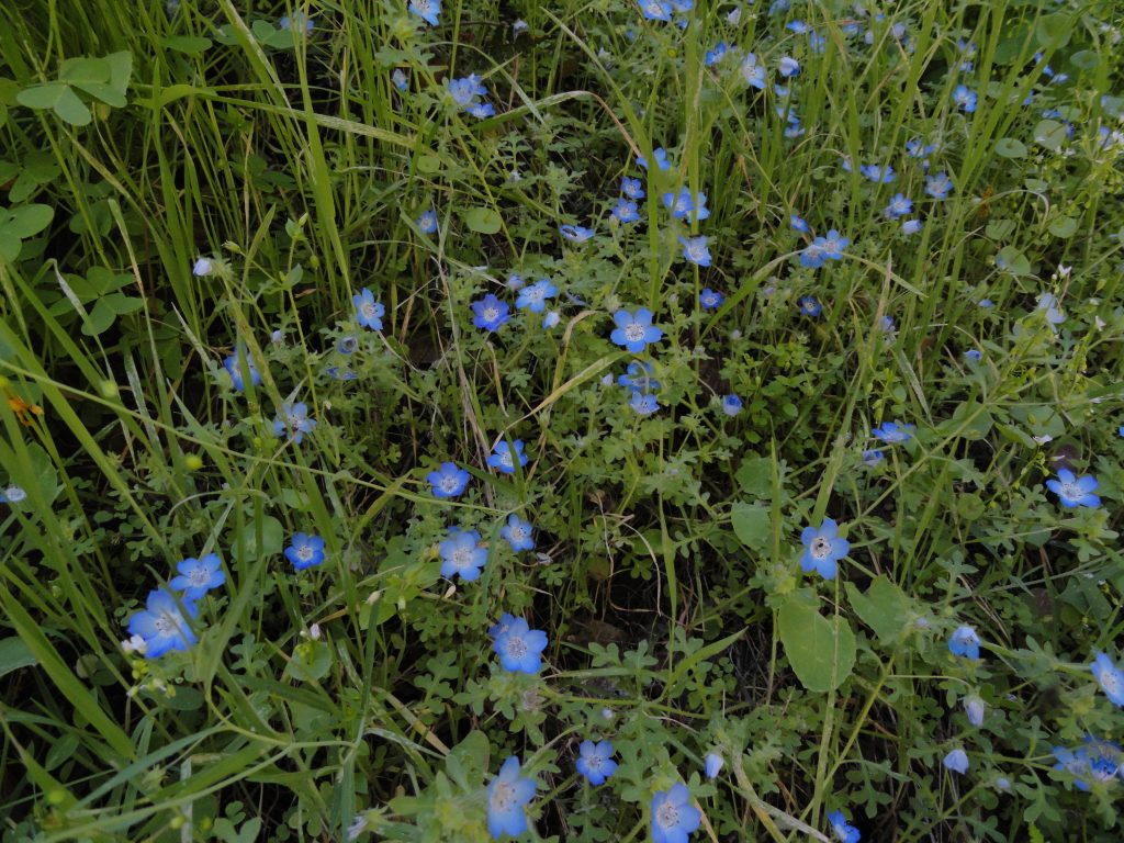
A grouping of baby blue eyes as seen in the cool, late afternoon light. Stream side trail between Roberts’ Camp and Fern Lodge Junction, Big Santa Anita Canyon.
The same map area is still depicted on the front page as the earlier versions. Just flip the map over and continue on your trip to Mt. Wilson. The entire Mt. Wilson Loop is found on this map, front and back. Besides the coverage area now being nearly twice as large, index contour lines (200′ intervals) have been added to depict shape and steepness of slope. Contours have been added at 50% opacity to prevent their competing visually with trail, stream and print detail. The Spring wildflowers are out in abundance. Go to www.simpsoncity.com/hiking/plants/ for excellent photos with descriptions of flowering plants in the San Gabriel mountains. You’ll see the lavender clusters of wild lilac on the Gabrielino Trail once you’re above Fern Lodge Junction. Baby blue eyes are making their presence down alongside some of the stream banks and other moist, shaded areas. Look for edible miners lettuce on the upslope side of the trails that are near the stream. Dark blue and delicate larkspur can be seen on the outer edge of the steep road as you climb out of Roberts’ Camp, just before the first bench. It’s also seen along the Upper Falls Trail in the area where you can look down at Sturtevant Falls. With yet another year of little rain, it seems that most of the blossoming is going on about a month early this year.

updated map of Chantry Flats hiking trails, canyon cartography.com
