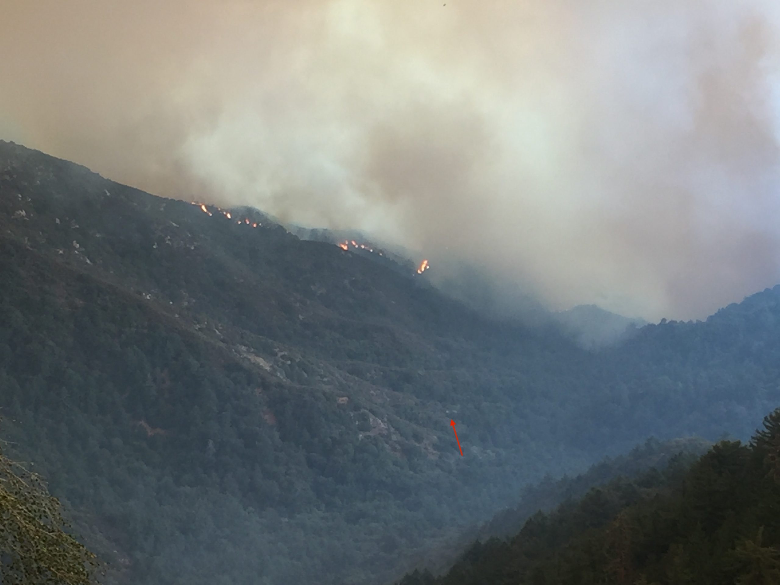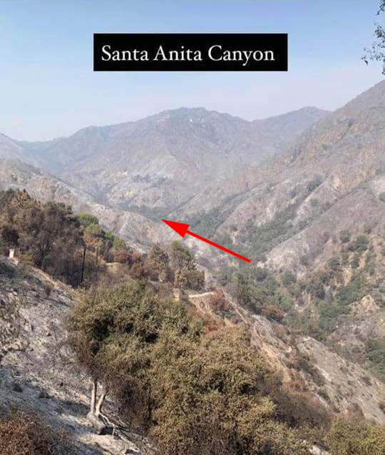
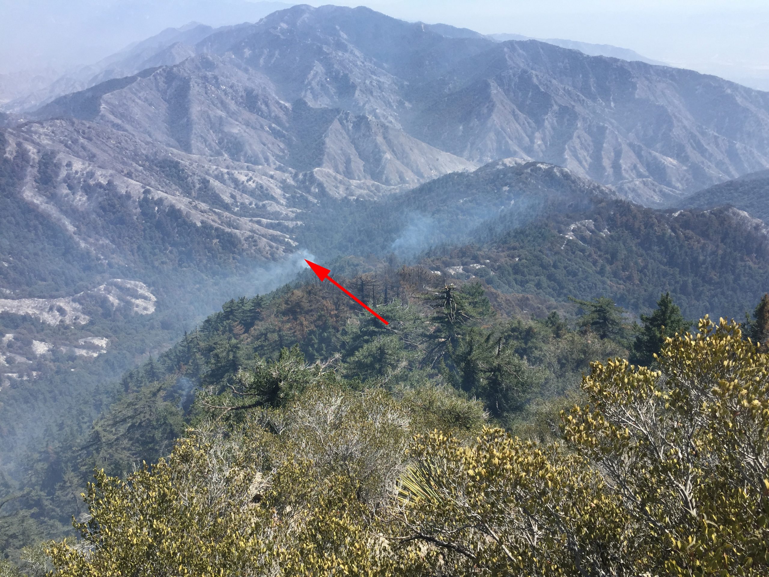
Attached are two photos taken of Big Santa Anita Canyon in the aftermath of the Bobcat Fire. There’s a third photo here, too. It is of the flames dropping into the upper Big Santa Anita Canyon during the fire’s early stages of development. The first photo was taken a couple of days ago. Here you’re looking up the canyon from a point near the trailhead at Chantry Flats. The second photo was taken by Larry Webster of Mt. Wilson just a day ago. The view is from the east end of the summit looking down toward Sturtevant Camp. Note the smoke still curling up from either the camp or adjacent to it. It’s still too early to know what the damage actually was to the camp or the nearly eighty private cabins up and down the Big Santa Anita Canyon and Winter Creek. Updates to follow as they come in.
This photo was taken before the Bobcat Fire reached Mt. Wilson. Sturtevant Camp’s heliport is marked by the small red arrow. Coincidentally, the camp itself, is located at the bottom, or start, of the arrow’s shaft.