Posted on November 1, 2015 – Written by Chris Kasten
Here are some photos taken the day I rode my bike up to Chantry Flats to see how high the stream had become. Photos taken during El Nino, Big Santa Anita Canyon, Chantry Flats back in 2005. It was a huge El Nino year for Big Santa Anita Canyon and the rest of southern California. At Sturtevant’s Camp we received over 89 + inches of rain that season. Our rain gauge actually overflowed during one of the storms, so the figure of 89 inches is only a “known.” That gauge, up at Sturtevant Camp’s heliport, holds up to 23″ of water between readings! We’ll never know how much really fell.
That year we lost the Chantry Road for over 10 months due to a massive slide above Arcadia. We had an amazing amount of water pour down over the entire west coast of Southern California. It’s been a decade since this kind of winter has been experienced! Who knows just what’s in store for the Big Santa Anita Canyon and the rest of the San Gabriel mountains.
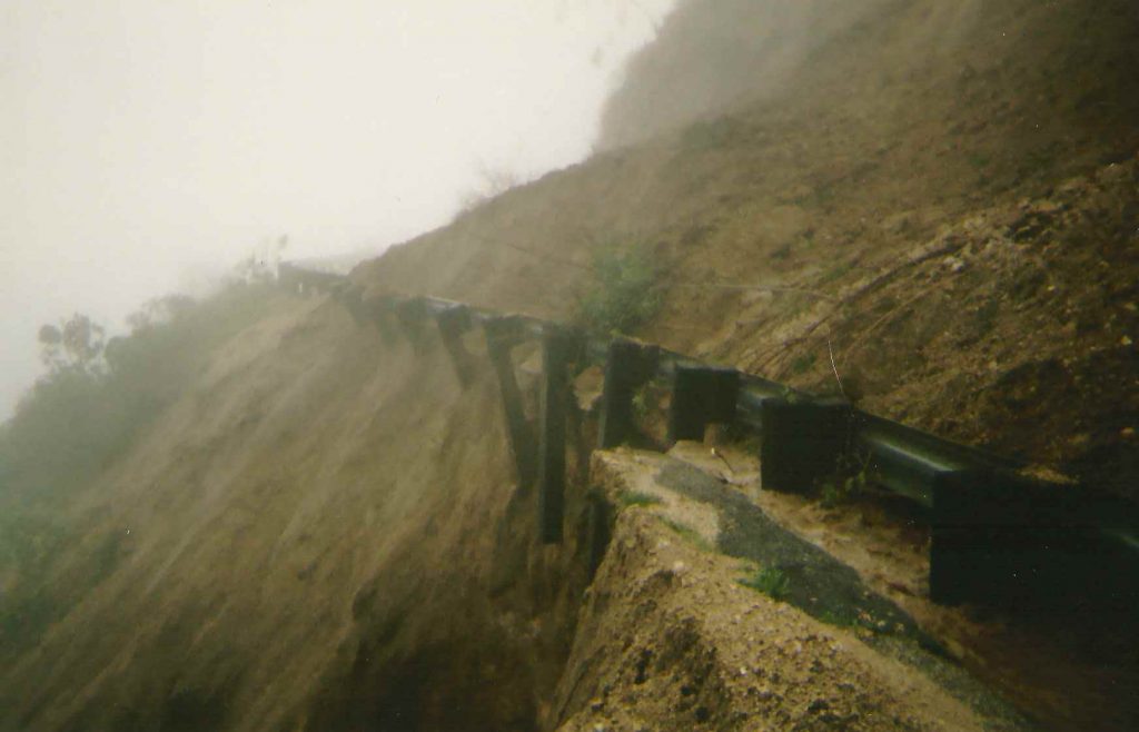
This photo shows the guard rail dangling out over nothing on the Chantry Road just down from the Big Santa Anita dam, Arcadia section. January 10, 2005. The mountainside was so saturated with water, it eventually slumped down onto the road in just a few hours time.
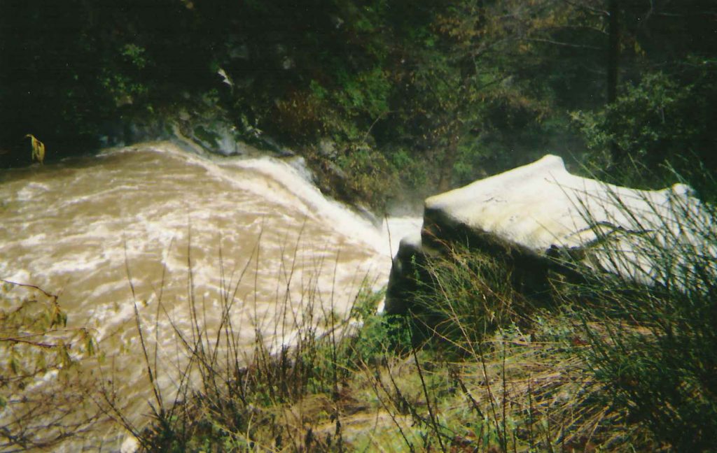
Water pours over check dam adjacent to cabin #23, Big Santa Anita Canyon. This is the first dam you pass by when heading up canyon from Roberts’ Camp. Many of the check dams are over 50′ wide, such as this one, to give you some perspective on the scale of this scene.
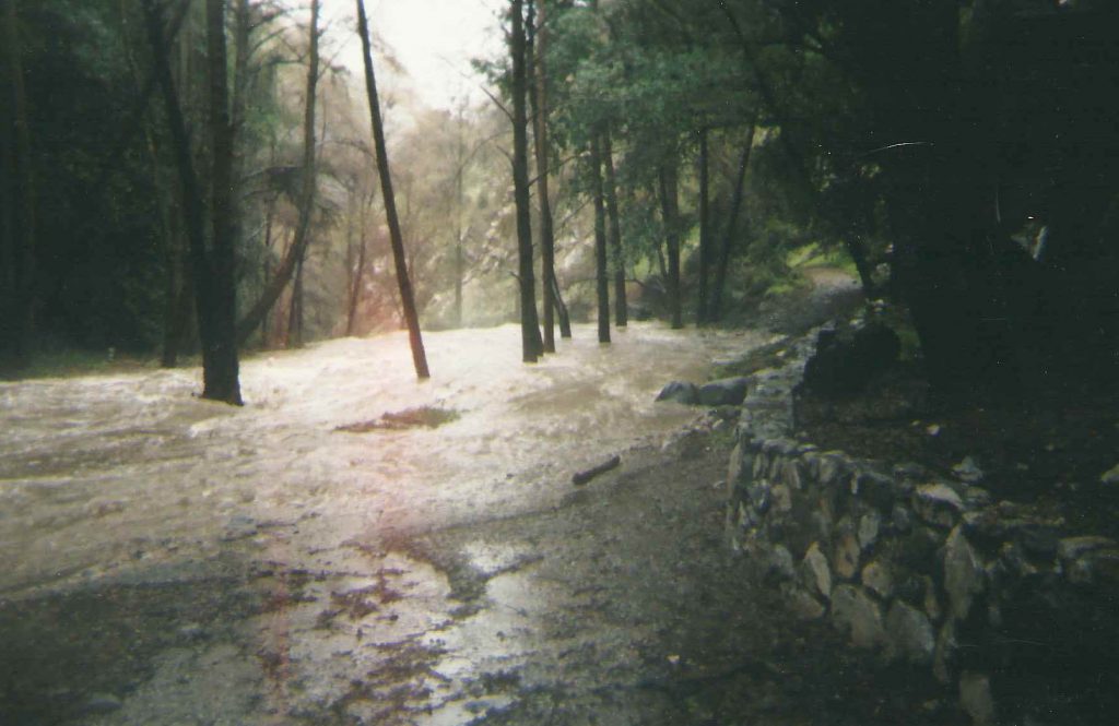
Looking downstream at water before it pours off a check dam in Big Santa Anita Canyon. That’s the retaining wall under cabin #26 on right side of photo. This was about as far up the canyon as I was able to go that day. January 10, 2005.
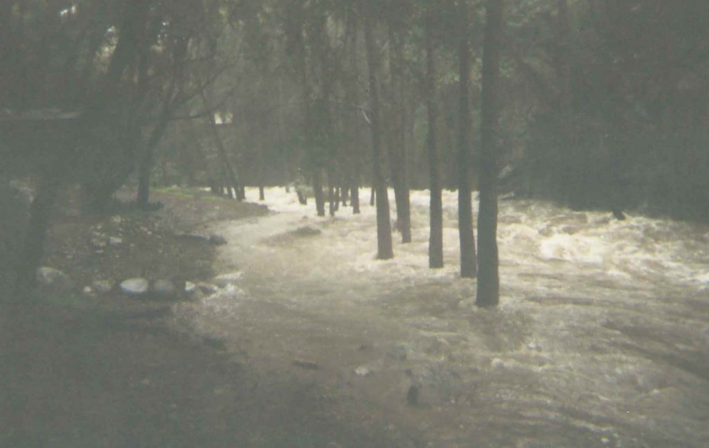
Looking upstream from base of cabin #25. That’s cabin #26 upstream on the left. Amazingly, that grouping of white alders hold their own in the swift current. January 10, 2005.
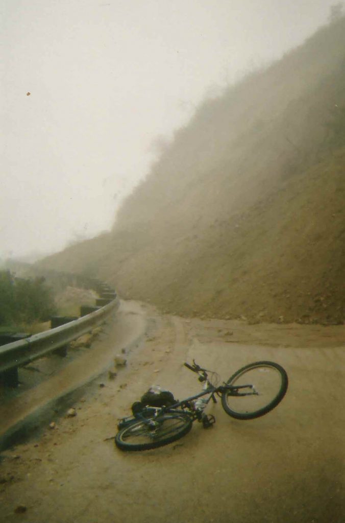
The road has washed out while I was up photographing the high water on January 10, 2005. That’s my bicycle in the foreground. Fortunately, I had left my truck at a friend’s house in Arcadia at the base of the road! Vehicles belonging to Forest Service employees and others were stranded up at Chantry for over 10 months before the road was repaired.
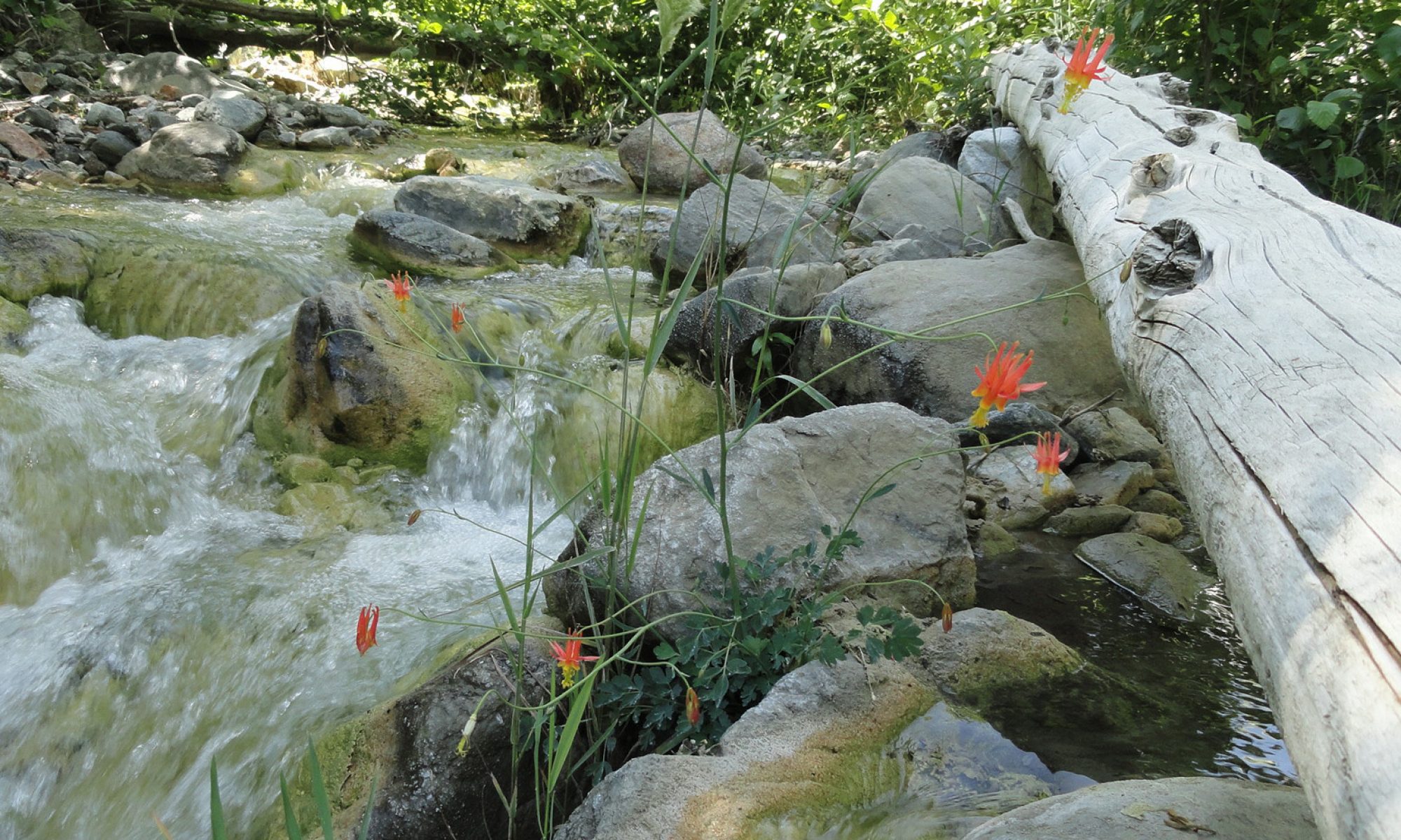
Last weekend’s double storm system brought much needed moisture to the Big Santa Anita Canyon. The San Gabriel mountains, along with most of Southern California, received a brief reprieve from the lengthy drought. Multitudes of canyons received enough rain (little snow) to thoroughly scour out the stream beds. The black organic mat which had affixed itself to all the rocky and sandy bottoms of streams and pools the last couple of years was washed away in just a few days.
White and tan sands have once again come into view. Pools that had decreased in depth have deepened. This is good news, not only from the standpoint of esthetics, but for wildlife. Fish and other creatures will benefit from this natural cleansing. Spawning will now become possible. Water temperatures will decrease and available oxygen will increase. This change is good for everyone.
Our rain gauge near Fern Lodge Junction, not far from Chantry Flats, received over 7.36″ of combined rain from the two storms. The sounds of a tumbling mountain stream have returned and the myriad of organic scents are throughout the Big Santa Anita and Winter Creeks. Especially noticeable is the staccato call of the Canyon Wren, with the descending notes reminiscent of laughter followed by a quick little question…. The dust is gone for now and everything gleams clean and green.
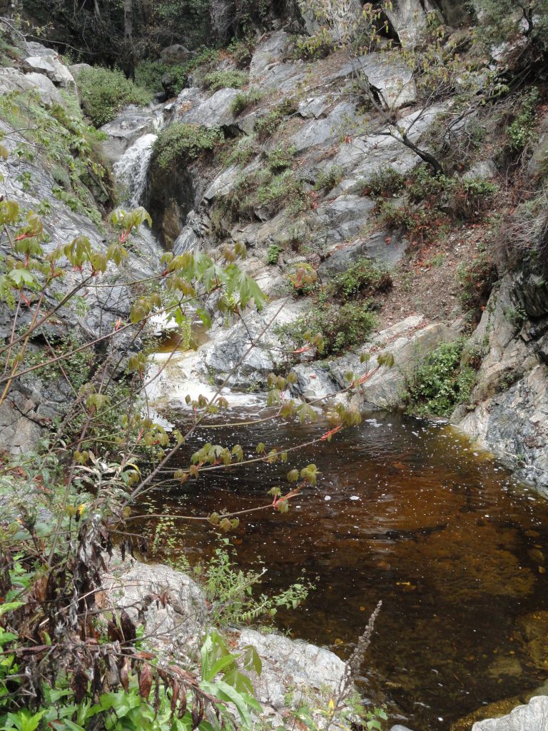
The attached photo was taken last Sunday just above Sturtevant Falls on the Upper Falls Trail. Notice that the water has been colored by the tannins of fallen leaves and abundant organics from the mountain soils. A hopeful big leaf canyon maple puts out her fresh leaves and catkins.
Posted on January 18, 2013 – Written by Chris Kasten
A series of recent rain storms, albeit gentle ones, are helping to bring the Big Santa Anita Canyon and Winter Creeks back up a bit. As of mid-January, we still haven’t seen any big storm systems hit the San Gabriels. Generally, a larger storm for the Chantry Flats area and most of the front-country, would be anywhere from 6 to 12 inches of rain…. or more. Back when I worked at Sturtevant’s Camp, there was an old L.A. County Flood Control rain gauge out at the heliport. It was a great spot for getting accurate reads of storms since there were no overhanging branches from the dense trees to throw off the true amount of water coming down from the sky. I had a chance to record 20 years of rainfall totals, and it was interesting to say the least!
The driest years were in the neighborhood of 11 (2002)to 20 inches total at Sturtevant Camp’s 3,200′ elevation. The wettest ones broke the 90 inch mark (2004-2005). Average years tended to be somewhere between 40 to 55 inches of accumulation. The snow level in the Big Santa Anita and Winter Creek Canyons tends to around 4,000′ up. So, at Sturtevant’s, while snow did occasionally fall, mostly what I experienced was cold, hard rain. It’s rain and snow, percolating down through the fractured and porous aquifer, that sustains our year-round stream. Although many side canyons only flow seasonally, the Big Santa Anita and Winter Creek flow throughout the driest of years. The watershed below Mt. Wilson is made up of myriads of steep, twisting canyons and all aspects of slope. This steep and tumbling country, heavily wooded, has an extensive surface area that can collect moisture and store it for years. A number of Angeles Forest trail maps that depict the routes up and around Mt. Wilson are available online, at outdoor retailers and the Adams Pack Station. It’s a good time to get out and explore this beautiful mountain.
Hopefully, some big storms are on their way! We’ll be glad this coming summer if it’s to be…